|
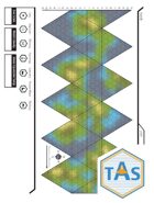
I like it. Of course it is a restyling of the Old School Icosahedral Grid for a world as seen in a few Traveller products. What it really lacks are icons, though there are a half dozen included.
Some Icons like we see in T5, swuch as mountain, jungle, etc., would be perfect for this.
The fact that it is .tif makes it a little bit tougher to use. Seems like also the end user is relying on paint programs to do the various coloring, coastlines, etc. or printing it out and hand drawing same.
If it had more icons, or a color sample for elevation height level gradations, or color sample palette for a standardized approach across the community...light blue for shallows darker blue of sea floor, etc. I would give it 4 or 5 stars.
As it is, there is some to a lot of work involved here. But if you do not have access to much older books such as Megatraveller, or Digest Group products long out of print, this map grid has clean lines.
|